


(Organization for Marine Conservation, Awareness and Research)
PALK BAY CENTER
Seagrass Health Monitoring
Following seagrass condition through repeat field observations, environmental measurements and mapped evidence.
Repeat observations reveal change
Seagrass monitoring brings together observations of the plants and the conditions around them. Repeated measurements help distinguish establishment, growth and loss, and guide maintenance at restoration sites.
Plant condition and meadow structure
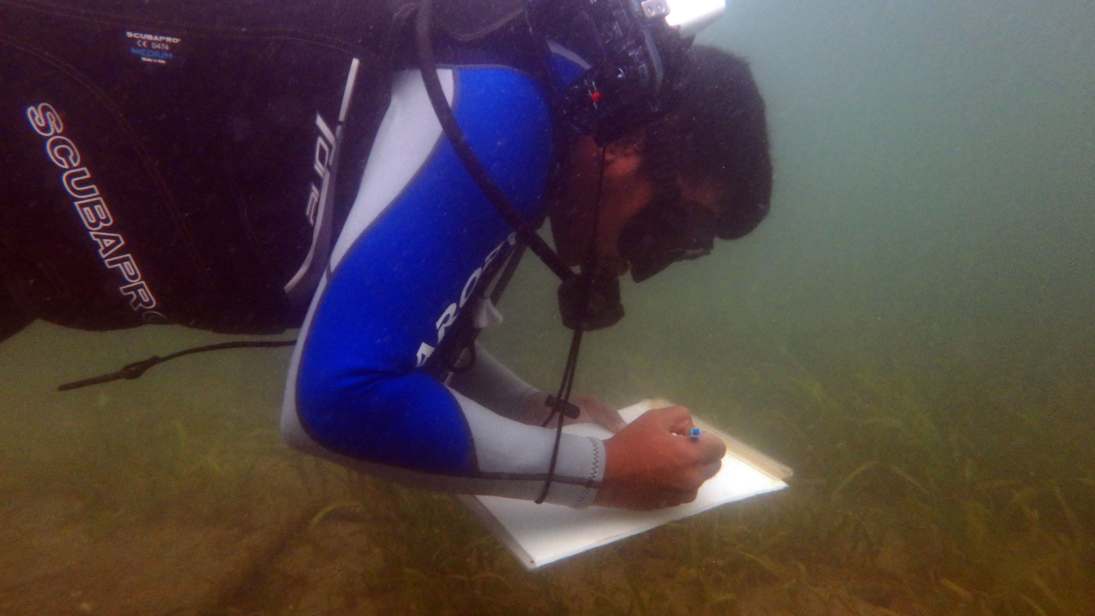
Count shoots within a measured quadrat and report density per unit area. Record canopy height and the extent of vegetation using consistent methods on repeat visits. Keep the species, location, survey date and sampling area with each observation. Photographs should document the same sampling context so that visual comparisons can be interpreted alongside measurements.
Water quality and light
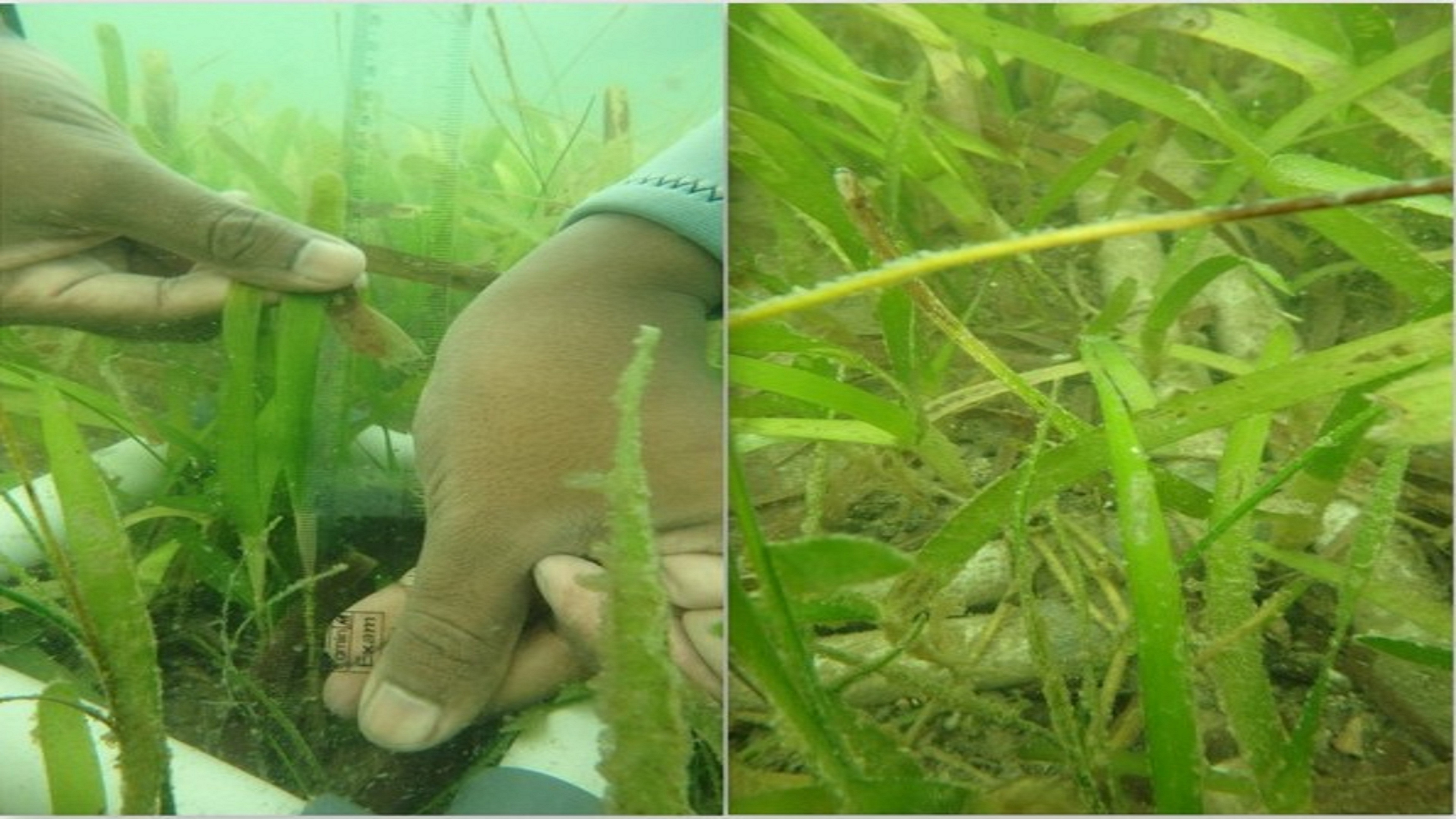
Record salinity, temperature, dissolved oxygen and water clarity. Where the monitoring programme includes laboratory sampling, assess nutrients such as nitrogen and phosphorus. Rainfall, runoff and sediment resuspension can change water conditions. Secchi-depth observations and instrument measurements describe different properties and should retain their method and units in the records.
Sediment and physical disturbance
Inspect for burial, erosion and exposed or dislodged rhizomes. Repeated transect observations and sediment measurements help document whether the substrate is stable. At restored plots, inspect the condition and anchoring of biodegradable structures alongside the plants. Record damage and maintenance separately from biological growth.
Grazing observations
Record visible grazing marks and, where observed, the animals responsible. Underwater photographs or video can support interpretation. Grazing forms part of meadow ecology; a damaged leaf alone does not establish the cause of a wider decline. Interpret these observations together with plant density, coverage and environmental conditions.
Compare before and after, with reference sites
Collect baseline observations before restoration and repeat them afterwards. Include comparable unrestored reference sites to help distinguish restoration responses from wider seasonal or environmental change. This is a Before–After–Control–Impact approach. Report the sampling design and limitations with results; a single photograph or one visit cannot demonstrate sustained recovery.
Connect field measurements with mapping
Mapped meadow extent provides spatial context for observations from quadrats and transects. Acoustic mapping, underwater video surveys and drone imagery can complement field observations. Mapping records should retain survey dates and methods so comparisons are made on a consistent basis.
Use evidence to guide the next visit
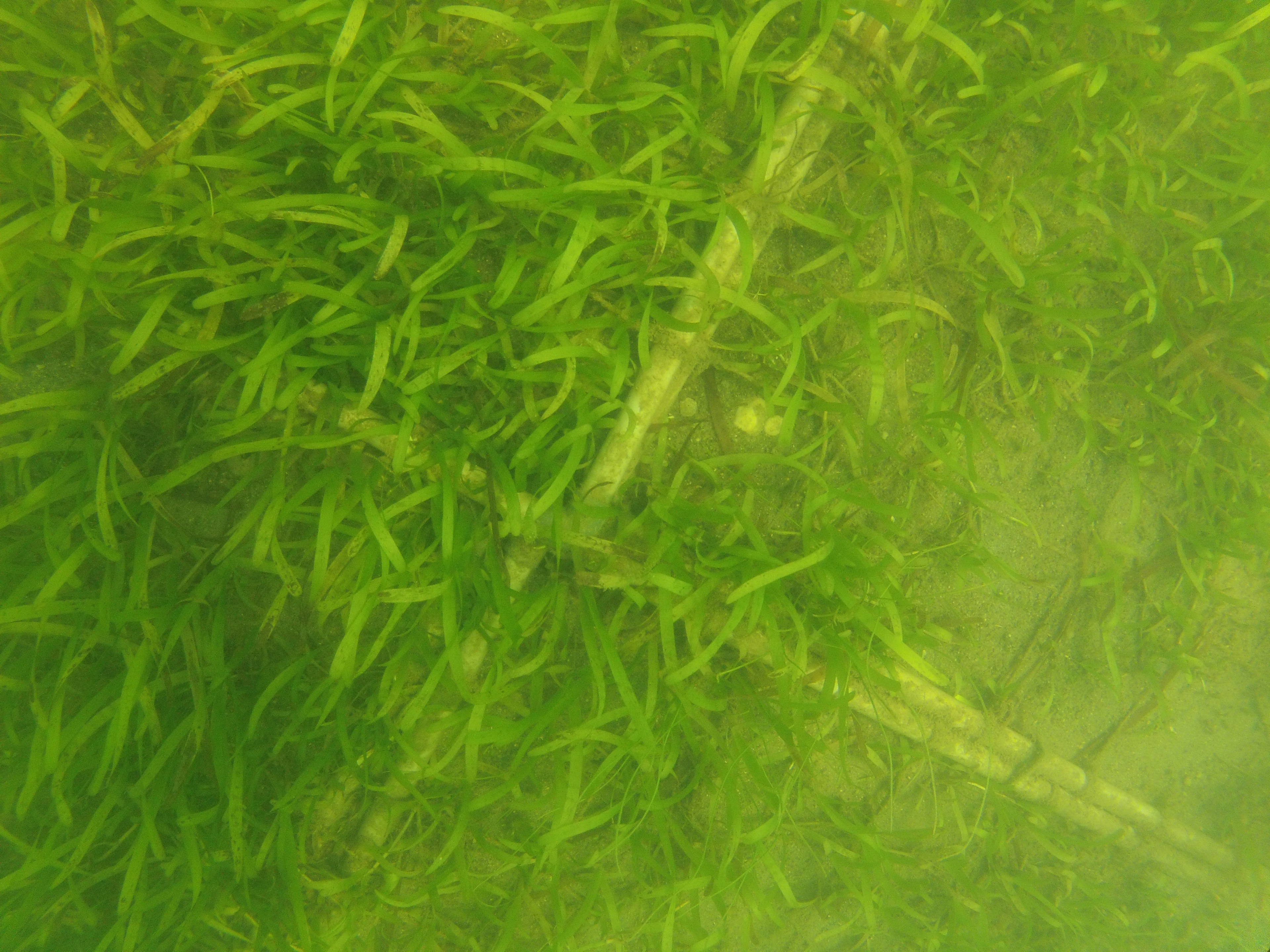
Maintain standard field sheets, dated photographic records and a secure central dataset. Summarise changes, uncertainty, damage and maintenance in progress reports. Use the findings to adjust monitoring and restoration management. This page describes a monitoring framework; it does not present a new dataset or claim a measured restoration outcome.